| |
Transit Planning Publications, Continued
Sailing
Directions;
En-Route
Volumes
En Route Volumes. Each En route volume includes detailed coastal and
port approach information, supplementing the largest scale chart available
from DMAHTC. It is intended for use in conjunction with the Planning
Guide for the ocean basin concerned. Each En route volume is divided
into a number of sectors, and for each sector information is provided on
available charts (with limits shown on an overall diagram as in U.S. chart
catalogs); winds, tides, and currents (shown on an outline chart); off-lying
dangers; coastal features; anchorages; and major ports (an annotated
chartlet with line drawings of aids to navigation and prominent
landmarks). Figure 3-1 shows the limits for all Sailing Directions
volumes.
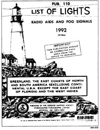
List of Lights
The DMAHTC List of
Lights, seven volumes,
cover foreign coasts of
the world (and limited
portions of U.S.
coasts); these are Pubs.
No. 110 through 116
(see fig. 3-2). The List
of Lights volumes
include descriptive
information similar to
Lights Lists, but
because of their greater
coverage areas, they list
only lighted aids to
navigation and fog
signals (lighted buoys
within harbors are
omitted). Each List of
Lights is published in a
new edition at intervals
of approximately 12
months; changes and
corrections are included
frequently, as they are
required, in Notices to
Mariners.
Figure 3-2. List of Lights.
3-6
|

