Click Here to
Order this information in Print

Click Here to
Order this information on CD-ROM

Click Here to
Download this information in PDF Format


Click here to make tpub.com your Home Page

Page Title: Transit Planning Publications, Continued
Back | Up | Next

Click here for a printable version

Google


Web
www.tpub.com

Home

   
Information Categories
.... Administration
Advancement
Aerographer
Automotive
Aviation
Combat
Construction
Diving
Draftsman
Engineering
Electronics
Food and Cooking
Math
Medical
Music
Nuclear Fundamentals
Photography
Religion
USMC
   
Products
  Educational CD-ROM's
Printed Manuals
Downloadable Books


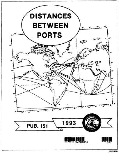
Transit Planning Publications, Continued Distances Between  Ports The  Distances  Between  Ports  publication  contains  information  on  ports  of entry  for  the  world.  It  is  useful  and  easy  to  use.  Ports  are  indexed  by number  and  name  and  laid  out  in  a  tabular  format.  The  World  Port  Index should  be  used  as  a  quick  reference  guide  only.  Up-to-date  information and specific planning information must be obtained from the applicable Sailing Directions, Coast Pilot,  or  Fleet Guide. Another  useful  publication  that  gives  information  concerning  the  distance a  ship  must  travel  between  two  ports  is  Distances Between United States Ports,  published by NOS; it tabulates approximately 10,000 distances along the shortest routes marked by aids to navigation. Figure  3-3.  Distances  Between  Ports. 3-8

Privacy Statement - Press Release - Copyright Information. - Contact Us - Support Integrated Publishing

Integrated Publishing, Inc. - A (SDVOSB) Service Disabled Veteran Owned Small Business